Skip to content
Softcoderz

Technology · Payments & maps

Google Maps Platform integration

Adds maps, address search, live tracking and travel-time estimates to delivery, ride and field apps, so orders reach the right door.

How we use it

We use Google Maps Platform for address autocomplete, geocoding, routes, travel-time estimates and live partner tracking, designed so per-request billing stays efficient.

Official site: mapsplatform.google.com (opens in new tab)

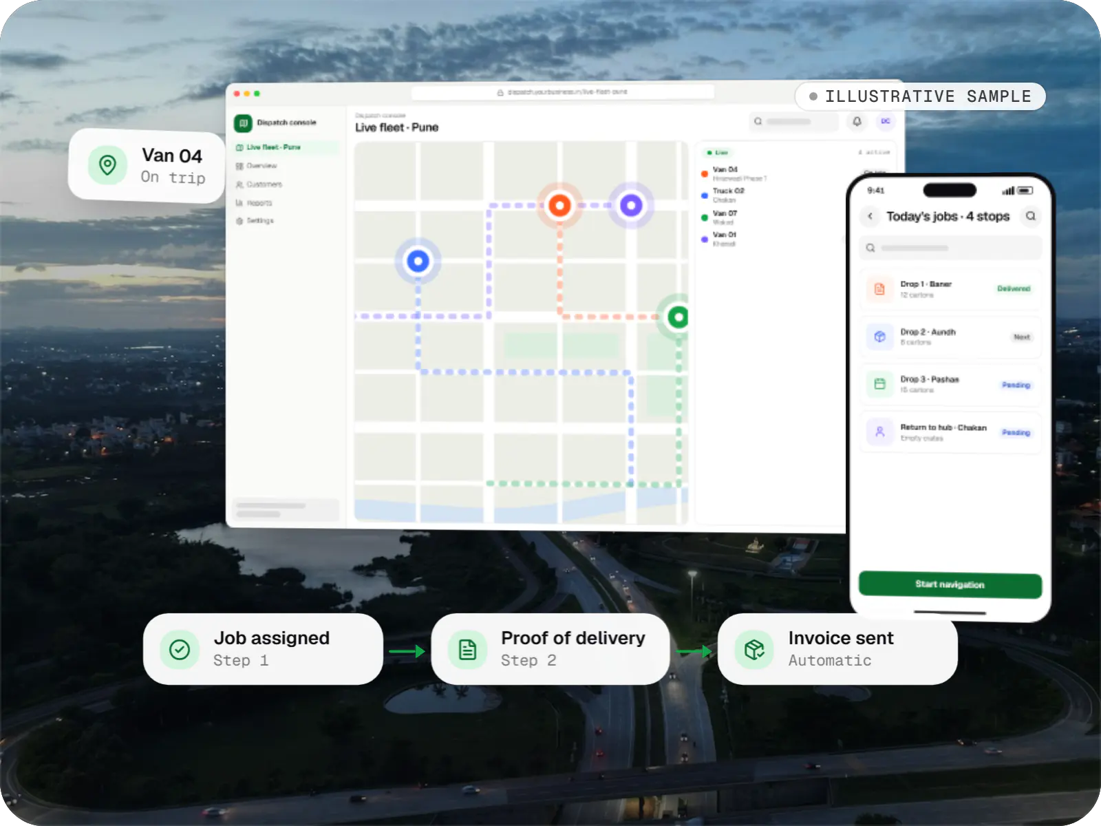
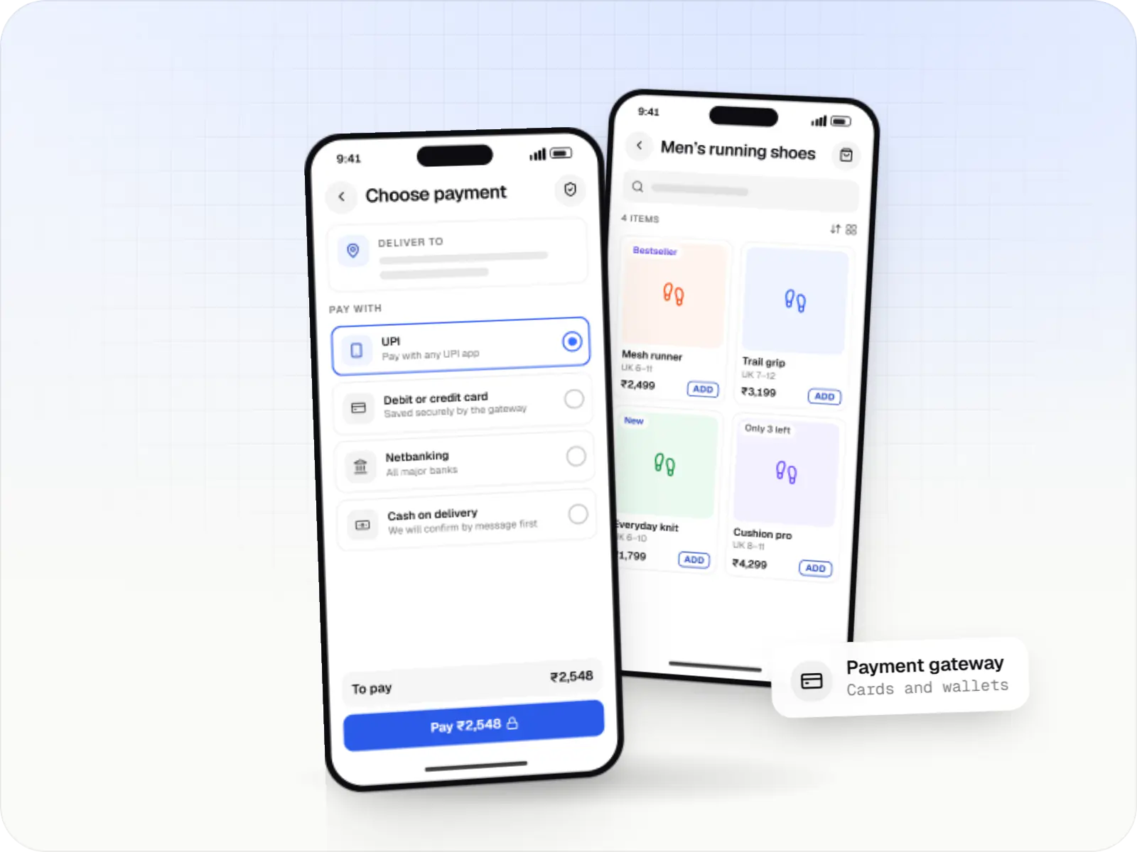
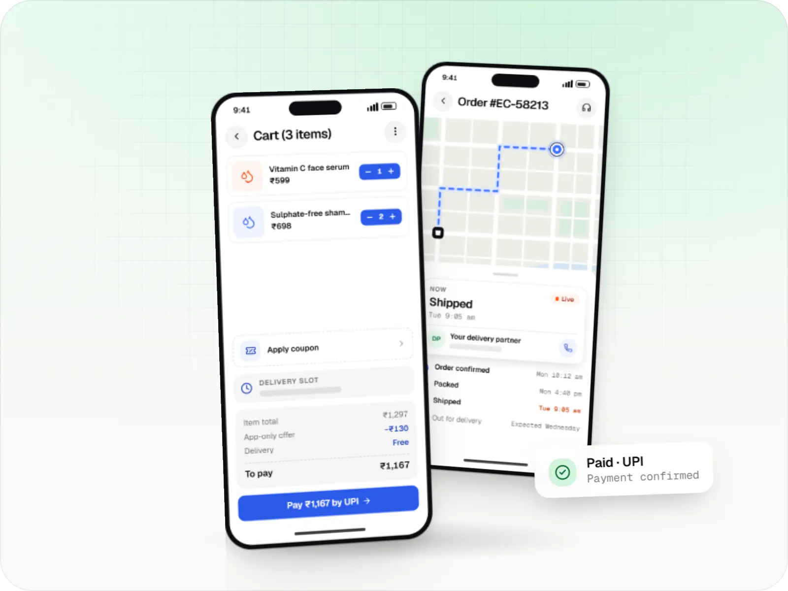
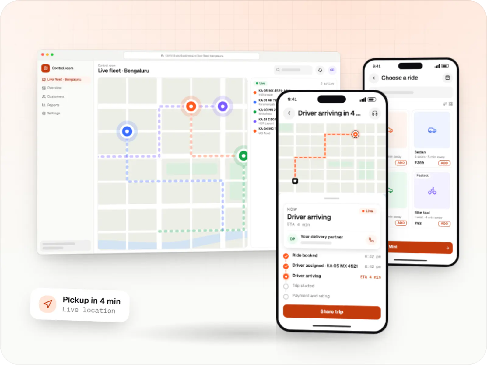
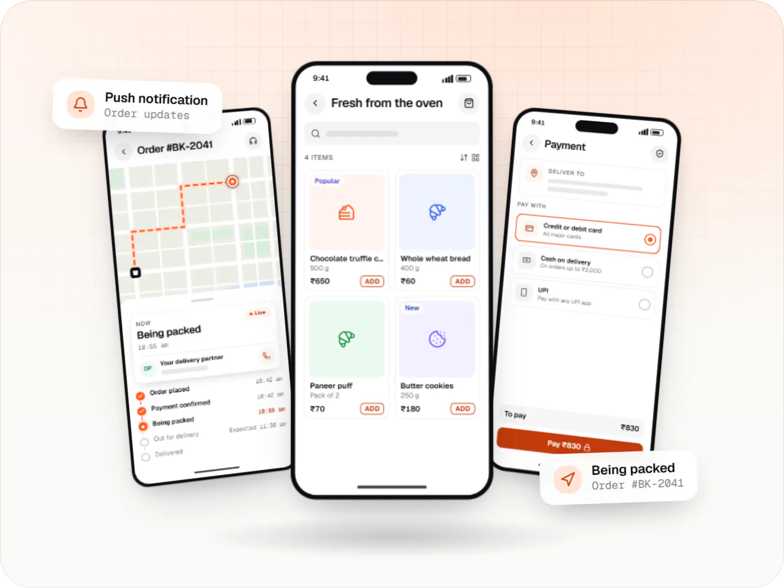
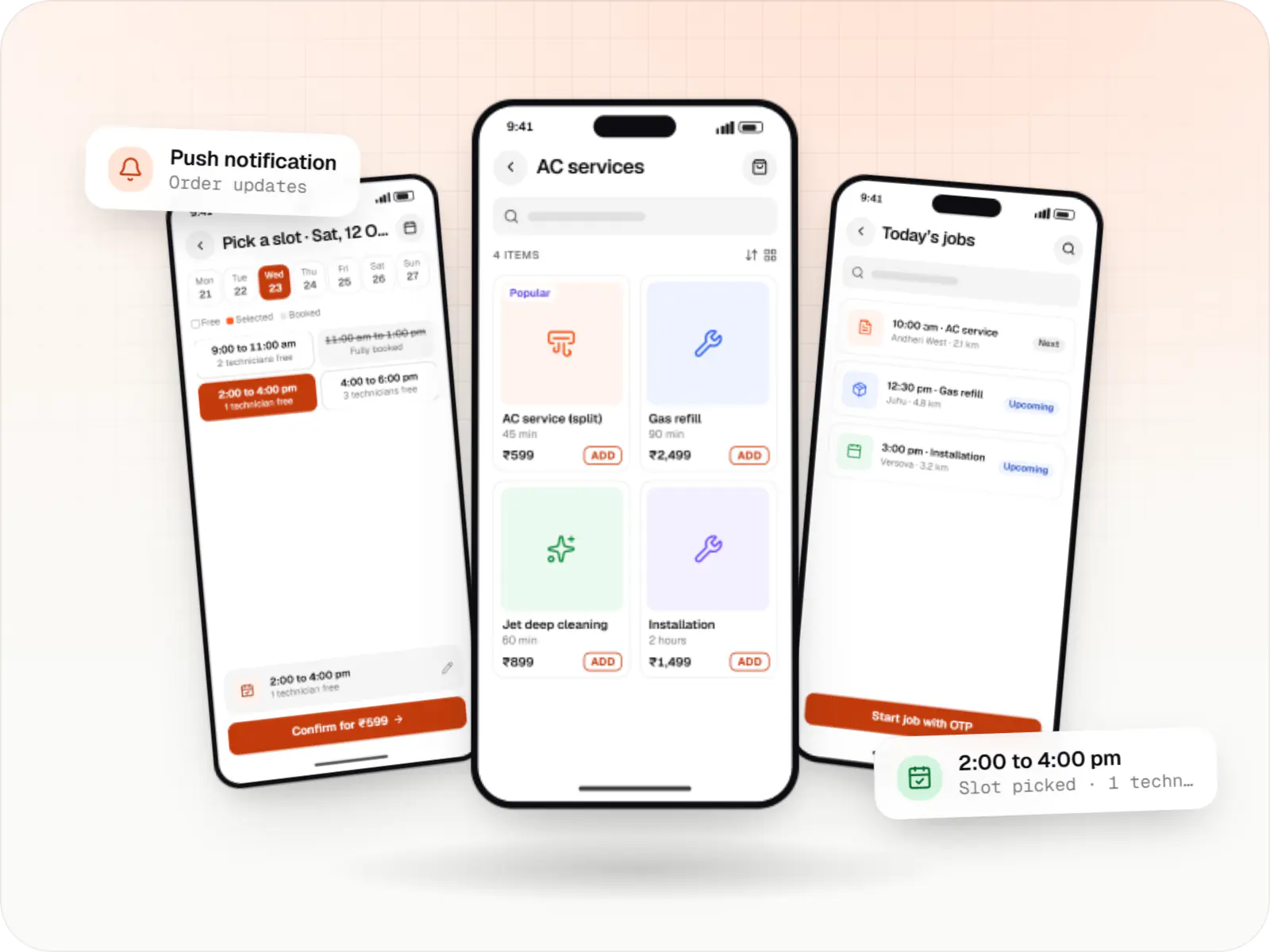
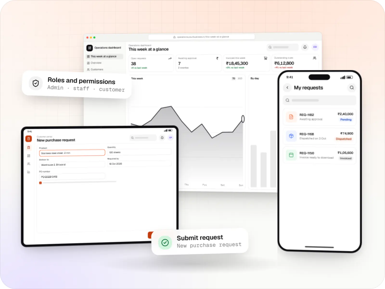
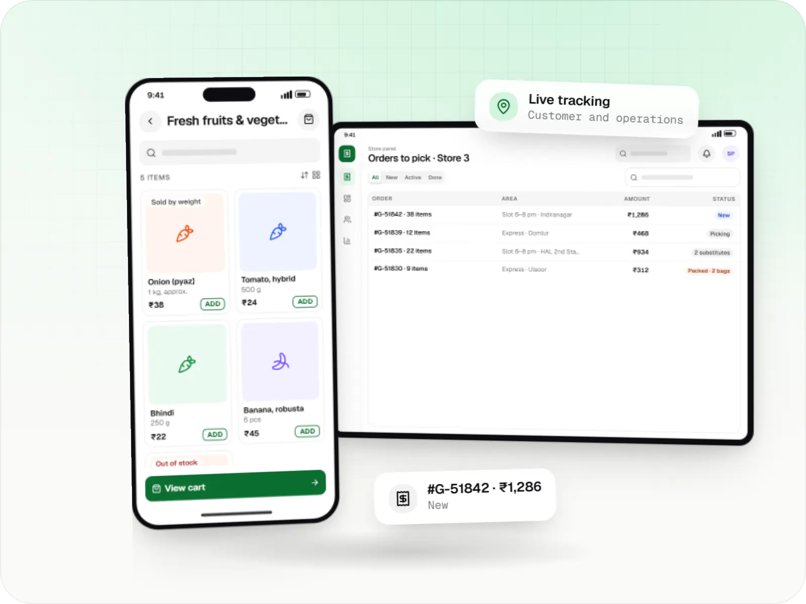
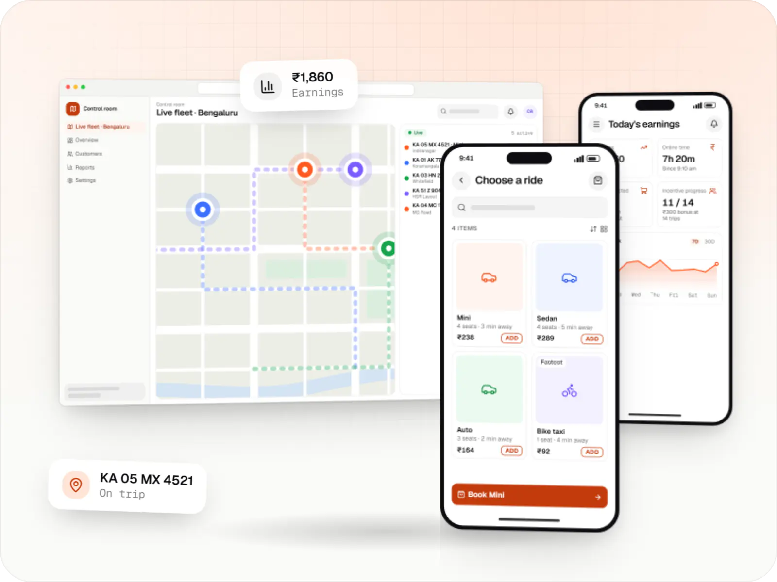
Maps built with Google Maps Platform: a live fleet map in a browser and ride tracking on two phones
Illustrative previewAddress search, routes and live positions on a map inside a booking app and its dispatch screen.

What Google Maps Platform is, and how we use it with Indian addresses

Google Maps Platform is the paid service behind the maps, address search and directions you see inside many apps. We use it so customers can find their address, see where their delivery partner is and get a realistic arrival time. For you, it means usable addresses, delivery charges that match real distances and dispatch decisions based on real travel times.

Indian addresses are often informal, built from landmarks, building names and localities rather than neat street numbers. Places autocomplete plus a map pin that customers confirm helps them locate themselves accurately, which reduces failed deliveries.

Use cases

What we build with Google Maps Platform

  • Address capture

    Autocomplete plus a draggable pin with landmark notes.

  • Serviceability checks

    Delivery zones and store radius checks at checkout.

  • Live order tracking

    Partner location on the customer's map with ETA updates.

  • Route and ETA estimates

    Travel times for dispatch decisions and delivery fees.

  • Field visit verification

    Check-ins matched against customer locations.

Why maps matter for delivery and field apps

  • Maps customers already know

    Familiar interfaces mean less explaining in the app.

  • Landmark and business search

    Places data helps customers find addresses across India.

  • Realistic arrival times

    Traffic-aware routes give travel-time estimates that reflect conditions.

  • Works on every platform

    SDKs for Android, iOS, Flutter and web.

When we would not recommend Google Maps Platform

  • Very high volumes on a tight budget: autocomplete sessions, geocodes and route requests are billed. We keep costs down with session tokens, cached geocodes, only the fields needed and routes calculated on the server, but at high volumes Mappls (MapmyIndia) or OpenStreetMap-based services may suit better on cost or coverage, and we compare them.
  • When an Indian provider is preferred: some businesses choose Mappls for data-location reasons or its detailed Indian address data.
  • Apps that only need a static address: a simple address form, or a link that opens the customer's own maps app, can be enough.

Plain-English glossary

Map terms, in plain English

Geocoding
Turning an address into map coordinates, or coordinates back into an address. It decides which store serves an order and what the delivery charge should be.
Autocomplete session
Address suggestions that appear as a customer types, billed as one session per search when set up correctly. It speeds up checkout and cuts typing errors.
ETA
Estimated time of arrival. Accurate ETAs set customer expectations and help dispatchers choose the right delivery partner.
Serviceability check
A check that an address falls inside a zone you deliver to, done before the customer pays, so you never take orders you cannot fulfil.

Services

Services using map features

  • Mobile app development

    Native and cross-platform Android and iOS apps, from first release through regular store updates, built by our in-house designers and engineers.

  • Flutter development

    Android and iOS apps from one Dart codebase, built by engineers who know when Flutter is the right call and when native code is needed.

  • Web application development

    Browser-based products, customer portals, dashboards and internal tools, built on clean data models with secure roles and integrations.

Solutions

Solutions with location features

  • Grocery delivery app development

    Grocery delivery apps for supermarkets, kirana chains and dark stores, with slots or express delivery, substitutions, picking and live tracking.

  • Food delivery app development

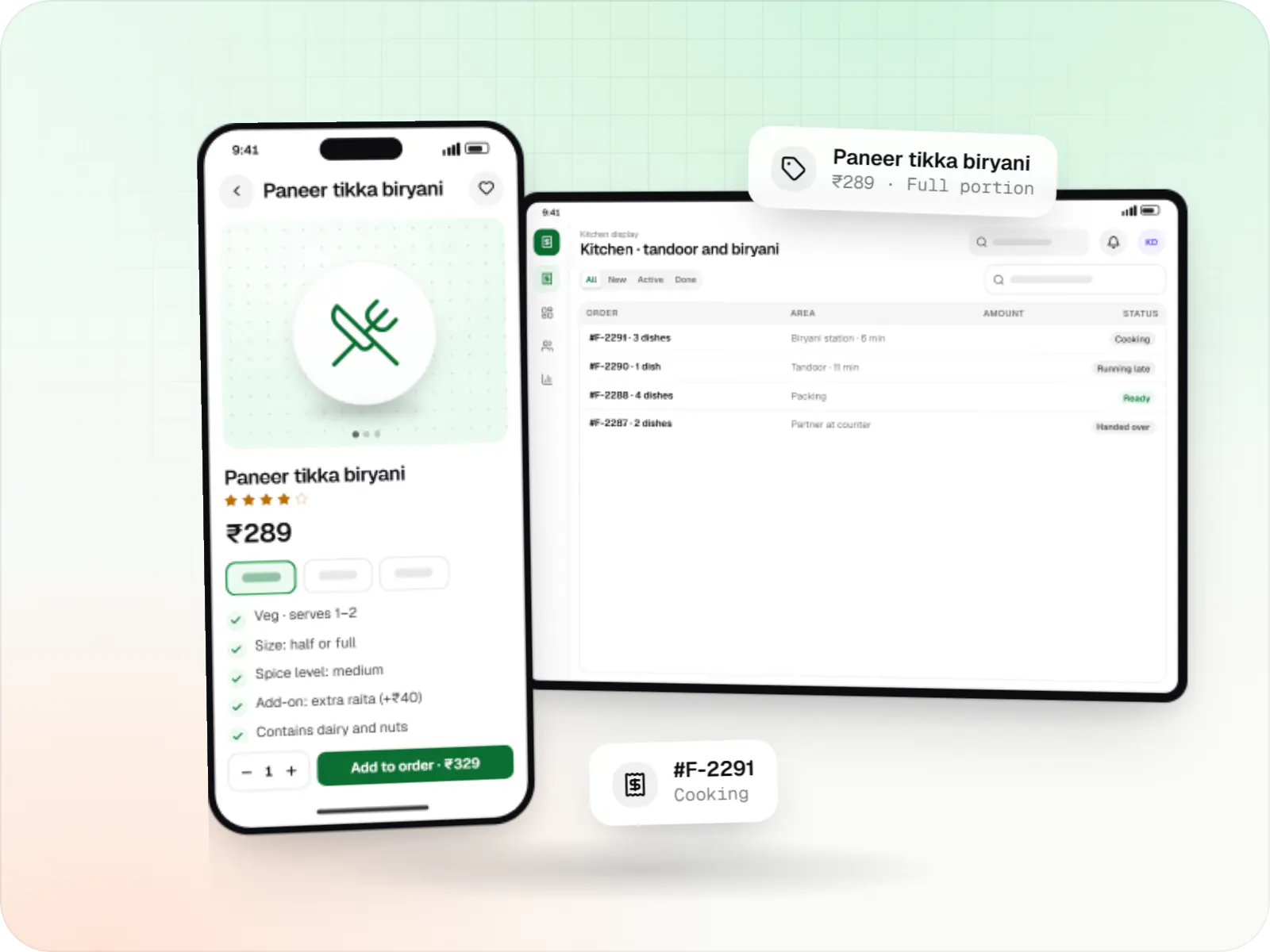
    Food ordering and delivery apps for restaurants, chains and cloud kitchens, with menus and add-ons, kitchen displays, prep-time ETAs and delivery tracking.

  • Taxi booking app development

    Rider app, driver app, dispatch engine and admin console for cab, auto, bike taxi, rental and outstation services, with UPI, cash and live tracking.

  • Fleet management software

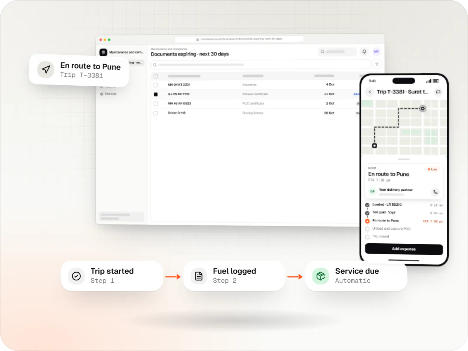
    Custom fleet management software for GPS tracking, trips, driver apps, compliance reminders, maintenance and freight billing.

  • Home services app development

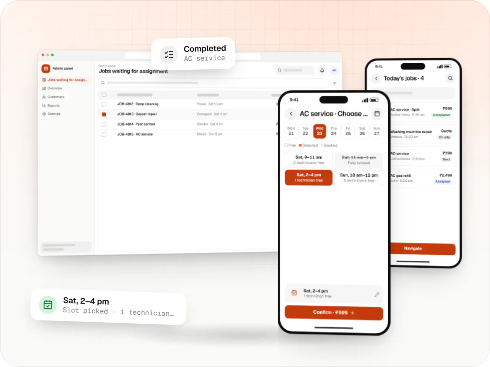
    Customer app, professional app and admin panel for repairs, cleaning, appliance servicing and beauty at home, with slot booking, on-site quotes and payouts.

Work

Sample projects

Illustrative projects that show how we plan and build products that use Google Maps Platform. They are samples, not client work.

  • Delivery app development

    Illustrative sample

    Hyperlocal grocery delivery platform

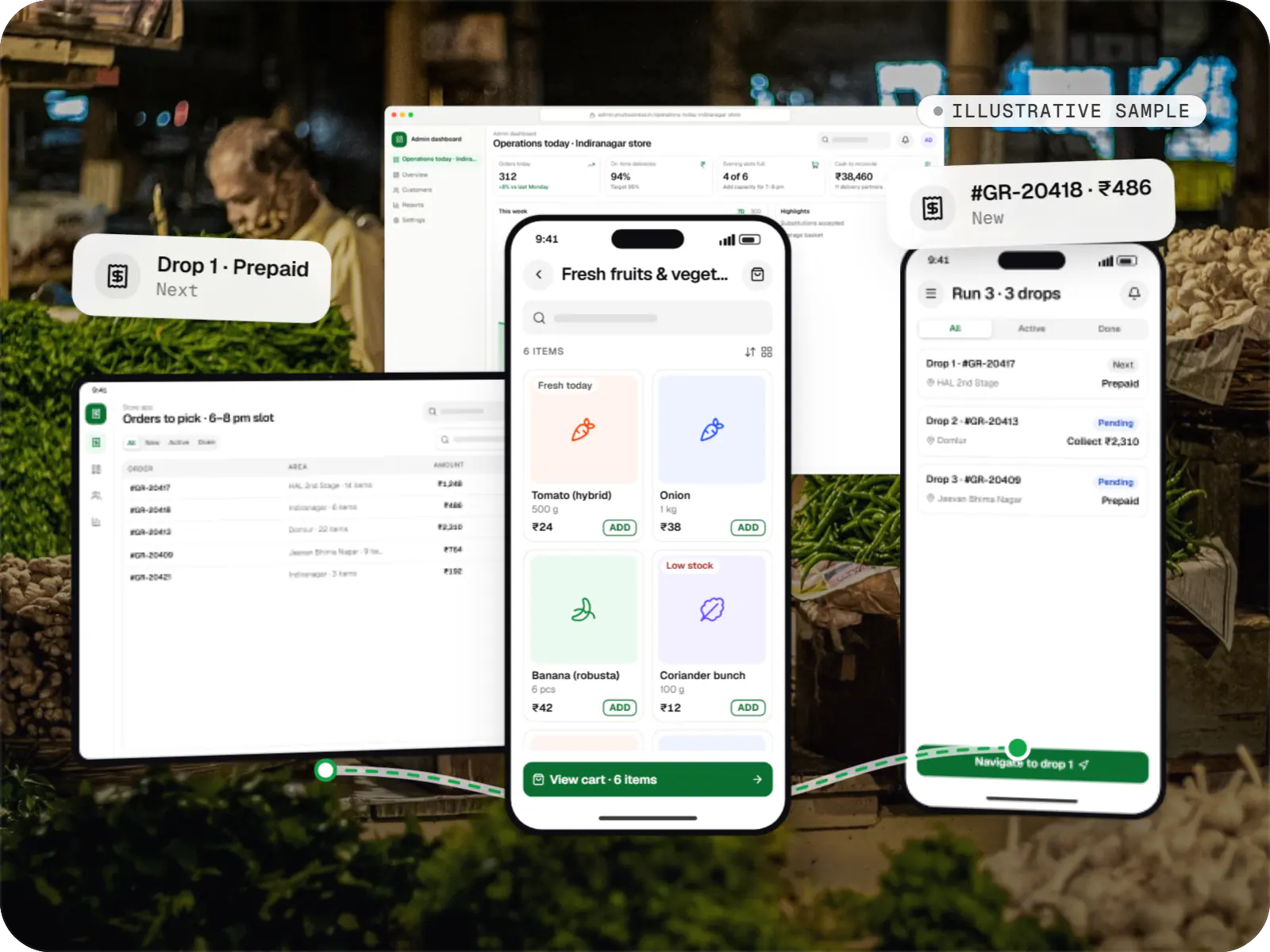
    An illustrative platform for neighbourhood grocery stores: slot or express delivery, store picking, batched delivery runs, and payment by UPI or cash on delivery.

    • Retail
    • Mobile + web platform

    Runs on

    • Android
    • iOS
    • Cross-platform
    • Admin

    Built with

    • Flutter
    • NestJS
    • PostgreSQL
    • Redis
    • AWS
    • +1 more
  • Business software

    Illustrative sample

    Fleet & dispatch management SaaS

    An illustrative SaaS for businesses running their own vehicles: live dispatch on a map, driver proof of delivery and per-trip billing for each customer.

    • Transportation
    • SaaS

    Runs on

    • Web app
    • Android
    • iOS
    • Cross-platform

    Built with

    • React
    • React Native
    • Node.js
    • PostgreSQL
    • Redis
    • +1 more

FAQ

Frequently asked questions

How do you keep Google Maps API costs down for a delivery app?

We look at every call. Autocomplete uses session tokens so an address search is billed as one session, geocoding results are cached for saved addresses, and place details requests ask only for the fields we use. Live tracking moves the marker using positions from our own server rather than repeated route requests, and ETAs are recalculated only when the partner has moved meaningfully.

Should we use Google Maps or Mappls (MapmyIndia)?

Both work in India. Google Maps is familiar to users and has broad places data; Mappls is an Indian provider with detailed Indian address data and its own pricing, and some businesses prefer it for data-location reasons. The choice depends on coverage needs, expected volumes and budget, so we often test both on real addresses from your target areas.

How accurate is live tracking of delivery partners?

Accuracy depends mainly on the partner's phone GPS and network, not on the map provider. We smooth noisy location points, snap them to roads where it helps and show the time of the last update, so customers aren't misled when a phone loses signal. Update frequency is tuned to balance accuracy against battery use, which matters on budget phones used through a full shift.

Next step

Building a location-based app?

Share your expected order or trip volumes, and we'll plan map features with running costs in view.

Or reach us directly

Mon–Sat, 10:00–19:00 IST